NREL Solar Radiation Research Laboratory (AOD ESR-Sunrad L2A) |
Latitude: 39.7423o North Longitude: 105.1785o West Elevation: 1828.8 AMSL Time Zone: MST |
Data sets currently available on SRRL AOD ESR-L2A web site
- Daily plots and raw data files, are available from June 02, 2022 to yesterday.
- Instrument history and meta data.
- MIDC Station Comparison
- Station Comparison (All L2A/L2 Methods)
- Station Comparison (Level L2A & CEReS and BMS)
- Station Comparison (Level L2 & CEReS and BMS)
- Station Comparison (Sunrad L2 vs Sunrad L1.1)
- Station Comparison (MRI L2 vs SkyRad L1.1)
- Station Comparison (CeRES L2 vs SkyRad L1.1)
- Station Comparison (CeRES L2 vs SunRad L1.1)
- Instrument history and meta data.
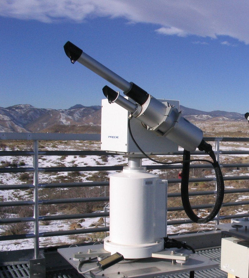
A multi-channel photometer can be used to calculate the Aerosol Optical Depth (AOD) at various wavelengths. The National Renewable Energy Laboratory (NREL) has purchased a 7-channel Prede POM-01 Photometer. This system collects raw photometer data that is then sent to International SKYNET Data Center for data processing every hour. The processed AOD results are then posted on the SKYNET web site. NREL grabs this data and posts it to the MIDC web site so that can be readily available with the Baseline Measurement System at SRRL. The SKYNET has three methods of processing data: ESR SunRad, ESR-MRI, and SR-CEReS methods, each method has two levels (except SR-CEReS). It may take SKYNET a couple days to process the daily level L2A data and a few months to process the monthly level L2 data which is then grabbed by NREL/MIDC on a daily basis (4 hours after midnight), therefore any real-time data that is posted to the MIDC web site could be a couple days behind for level L2A and a couple months behind for level L2. The level L2 data set is of higher quality than level L2A. SKYNET reprocesses all the level L2A data at the end of each month using a new solar calibration constant to produce the level L2 data, with the exception of SR-CEReS which goes directly to level L2 on a daily basis. Note: Prior to June 2022, data was sent to the European Sky Radiometers (ESR) Network for data processing and it produced two methods SkyNet SkyRad and the ESR SunRad Method (each with level 0 and level 1.1). Those older data sets are being temporarily provided for comparison with the new SKYNET data set.