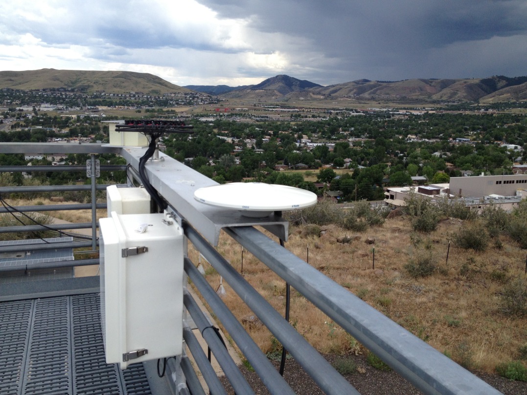
NREL Solar Radiation Research Laboratory (GPS-based PWV) |
Latitude: 39.7423o North Longitude: 105.1785o West Elevation: 1828.8 AMSL Time Zone: MST |
Data sets currently available on SRRL PWV web site
- "Live" data and plots, updated every 60 minutes.
- Daily plots and raw data files, are available from June 13, 2012 to yesterday.
- Instrument history and meta data.
A GPS can be used to calculate the Atmospheric Precipitable Water Vapor (PWV). The National Renewable Energy Laboratory (NREL) has purchased a Zephyr Geodetic GPS Antenna and a Trimble Net9R Data Acquisition. This system collects raw GPS data that is then sent to UCAR for data processing every hour. The processed PWV results are then posted on the UCAR web site. NREL grabs this data and posts it to the MIDC web site so that can be readily available with the Baseline Measurement System at SRRL. It takes UCAR 1 hour 35 minutes to process the data which is then grabbed by MIDC (NREL) 5 minutes later, therefore there will be atleast a 1 hour 40 minute data lag for the real-time data that is posted on the MIDC web site.